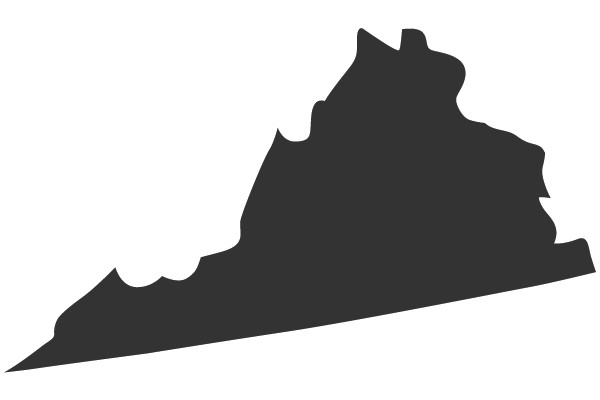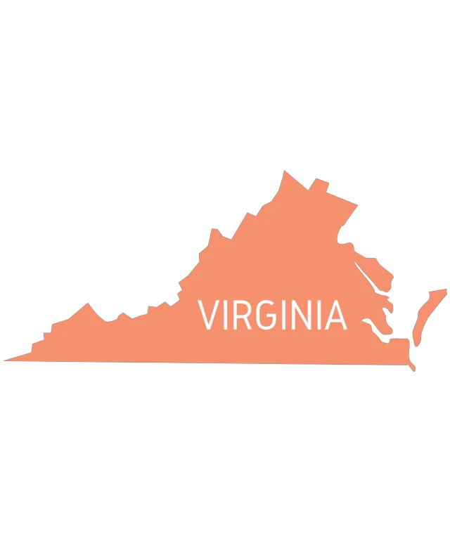
The image displays a stylized map of the state of Virginia. The map is predominantly in shades of orange and pink, with the state's borders outlined in a darker shade, possibly black. The name "VIRGINIA" is prominently displayed in white text at the bottom of the map. The map appears to be a simplified, two-dimensional representation rather than a detailed, three-dimensional one. The style of the image is graphic and flat, with no additional geographic features or topographical details.
Like
Virginia State Outline with Text
$22.95 USD Sale price $20.00 USD
Design this TShirt
Design this Mug
Design this Sticker
Download for personal use
Product
Add to cartShare on Facebook
Share on X
Share on Pinterest
Other Designs