The image displays a black and white map of the United States. The map is stylized with a simplified outline of the states, and it appears to be a graphic representation rather than a detailed geographical map. The states are outlined in black, with the contiguous United States occupying the majority of the image. The map does not include any topographical features or cities, focusing solely on the state boundaries. The image is presented in a square format and has a clean, minimalist aesthetic.
Like
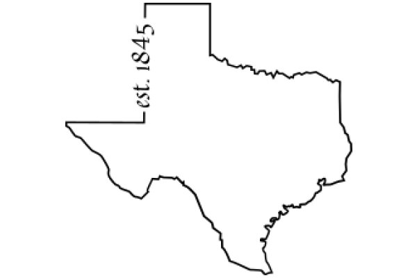
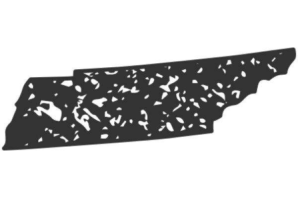
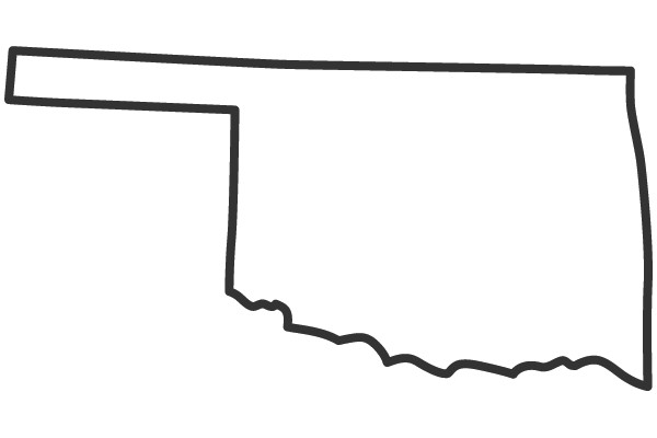
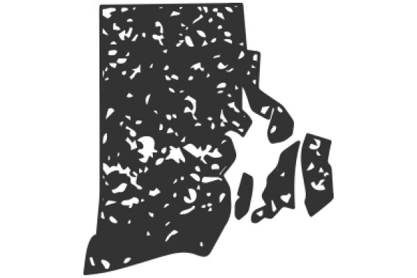
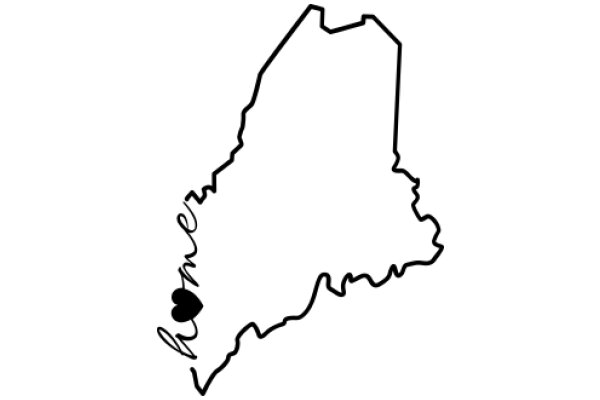
United States Map in
$22.95 USD Sale price $20.00 USD
Design this TShirt
Design this Mug
Design this Sticker
Download for personal use
Product
Add to cartShare on Facebook
Share on X
Share on Pinterest
Other Designs