The image displays a simple black and white line drawing of a map-like shape. The shape resembles a stylized outline of a state or region, with a prominent indentation in the middle, suggesting a valley or a central feature. The drawing is minimalistic, with no additional details or text. The style is reminiscent of a basic outline map, commonly used for educational or informational purposes.
Like
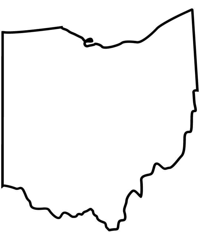
Simplified Map of Indiana
$22.95 USD Sale price $20.00 USD
Design this TShirt
Design this Mug
Design this Sticker
Download for personal use
Product
Add to cartShare on Facebook
Share on X
Share on Pinterest
Other Designs