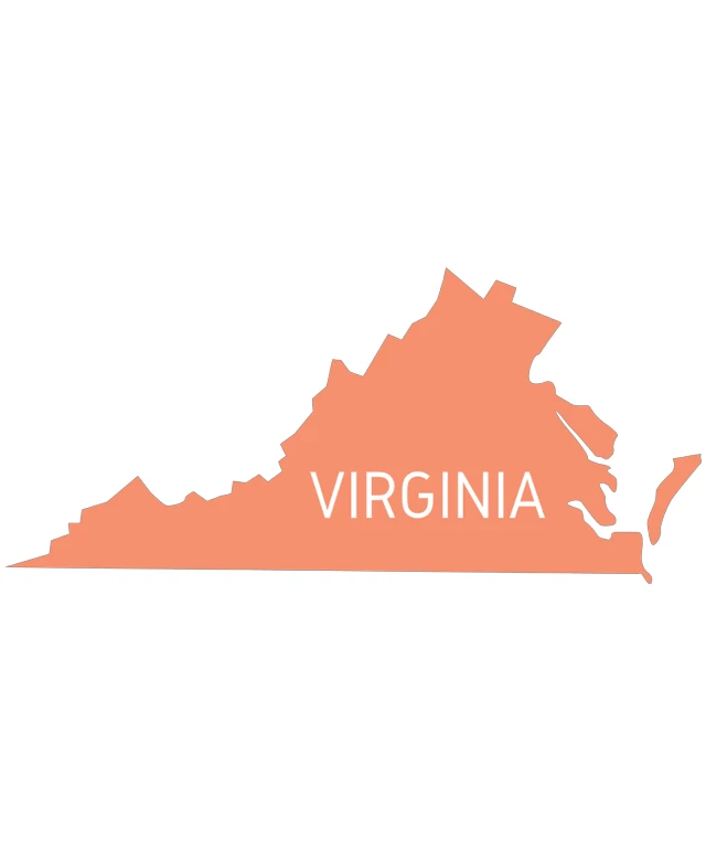
The image displays a stylized map of the state of Virginia. The map is simplified, with the state's borders outlined in a solid color, and the name "VIRGINIA" is prominently displayed in the center of the map. The background is a plain, light color, which contrasts with the darker color of the map, making the state's boundaries clearly visible. The style of the image is graphic and flat, with no additional geographical details or features.
Like
Virginia State Outline with Text
$22.95 USD Sale price $20.00 USD
Design this TShirt
Design this Mug
Design this Sticker
Download for personal use
Product
Add to cartShare on Facebook
Share on X
Share on Pinterest
Other Designs