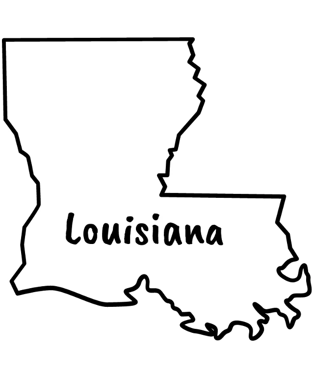
The image displays a simple, black and white outline map of the state of Louisiana. The map is stylized with a clear outline of the state's borders, and the name "Louisiana" is prominently displayed at the bottom. The map is set logo, which contrasts with the black outline of the state. The style of the image is minimalistic and graphic, focusing on the geographical representation of the state without any additional details or color.
Like
Louisiana State Outline with Text
$22.95 USD Sale price $20.00 USD
Design this TShirt
Design this Mug
Design this Sticker
Download for personal use
Product
Add to cartShare on Facebook
Share on X
Share on Pinterest
Other Designs