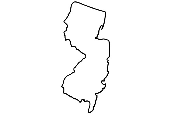
The image displays a simple, black and white line drawing of a state outline. The outline is irregular and jagged, typical of a hand-drawn map, with the top left corner appearing to be cut off. The state's shape is recognizable, but the specific details that would identify the state are not visible due to the cropping. The background is plain white, which contrasts with the black outline of the state. The image has a minimalist and abstract quality, focusing solely on the outline without any additional context or details.
Like
A Simple Line Drawing
$22.95 USD Sale price $20.00 USD
Design this TShirt
Design this Mug
Design this Sticker
Download for personal use
Product
Add to cartShare on Facebook
Share on X
Share on Pinterest
Other Designs