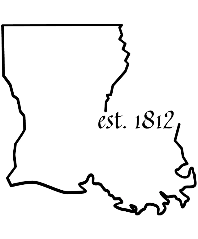
The image displays a simple black and white illustration of a map of the state of Louisiana. The map is outlined in black, with the state's borders clearly defined. The name "EST. 1812" is prominently displayed in the center of the map, indicating the year of the state's establishment. The text is written in a cursive font, adding a touch of elegance to the overall design. The map is set logo, which contrasts with the black lines and text, making the details of the map stand out. The image has a clean and minimalist aesthetic, focusing solely on the geographical representation of Louisiana.
Like
Est. 1812: A Historical Map of the State of Louisiana
$22.95 USD Sale price $20.00 USD
Design this TShirt
Design this Mug
Design this Sticker
Download for personal use
Product
Add to cartShare on Facebook
Share on X
Share on Pinterest
Other Designs