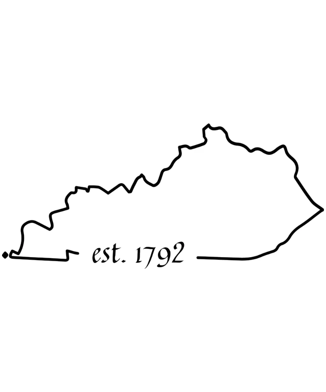
This design features a black and white line drawing of a mountainous region. The drawing is simple and stylized, with the outlines of the mountains and valleys clearly visible. The mountains are depicted with peaks and valleys, suggesting a rugged and hilly landscape. At the bottom of the image, there is text that reads "EST. 1792," indicating that the image may be related to the establishment of a place or event in the year 1792. The overall style of the image is minimalistic and graphic, with no shading or coloring beyond the black lines.
Like
Est. 1792: A Historical Outline of a State's Boundaries
$22.95 USD Sale price $20.00 USD
Design this TShirt
Design this Mug
Design this Sticker
Download for personal use
Product
Add to cartShare on Facebook
Share on X
Share on Pinterest
Other Designs


